On days 7 + 8 of the camel trek I started to think how this country in the northern Flinders Ranges had had been historically framed. In the mid-nineteen century this territory had historically been mapped as the ‘New World’ frontier–the edge of civilization as it were–by the white colonialists and settlers. What I knew was that the imperial map said this territory was terra nullius; that historically the settler societies are brought into being through invasion; and an outback mythology emerged with its images of vast stations, droving, skilled horse work, and dusty and laconic stockworkers that celebrated the pastoral industry.
When we left the John Waterhole in the Hamilton Creek we walk the country along tributory creeks full of scrubby melaleuca bush. It was often slow going as the density of the bush made it difficult walking for the camels to get through whilst carrying their bulky loads.

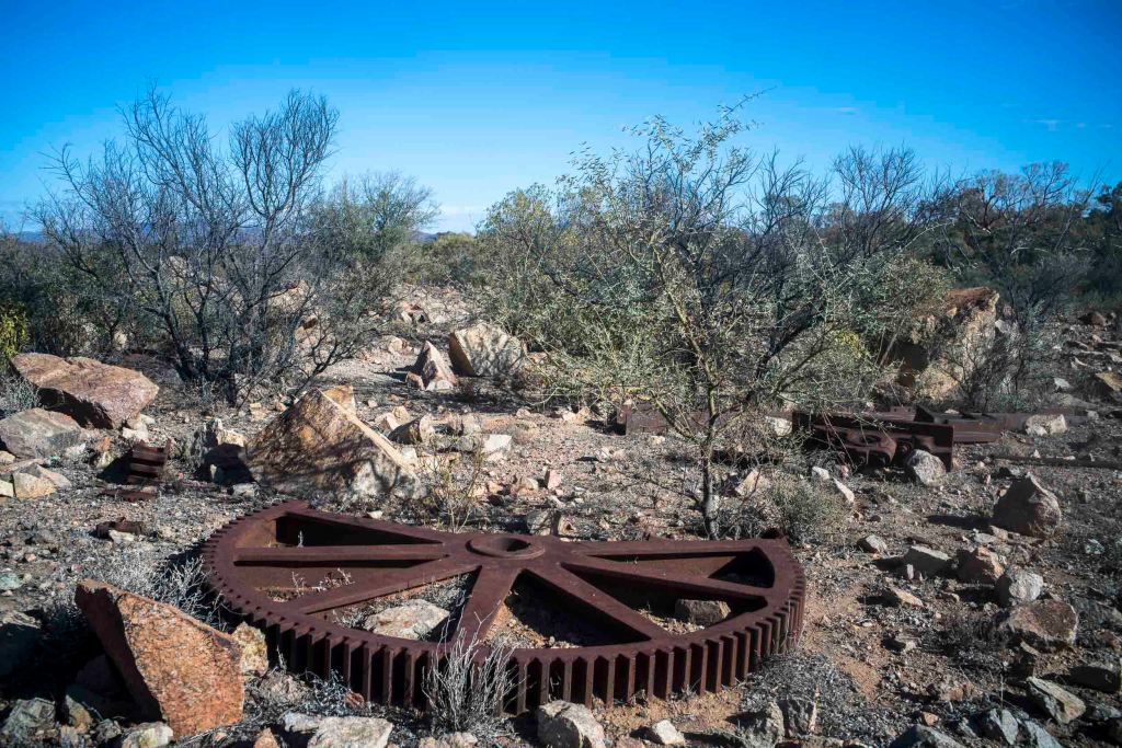
After leaving the creeks we walked across undulating territory with Mt Babbage on our right. We passed the ruins of a well (Harrison’s well), a bore (Con’s Bore), a mining site and an abandoned station— Mt Fitting Station. We were skirting around Terrapinna Gorge which Hamilton Creek runs through because the camels could not walk along the gorge’s very stony ground.
I started to wonder how the European signs and codes had mapped this territory, rather than thinking about its political economy or its environmental degradation from pastoral overgrazing. Was there a history of the codes, models, and signs that were the organizing forms that mapped and so shaped how we interpreted this territory.
As we walked along the station tracks of Moolawotana Station parallel to Hamilton Creek to camp in the sand a short distance from the Terrapinna Waterhole at the northern end of Terrapinna Gorge I wondered how the economics of this landscape in the British empire was shaped by culture. How had this landscape been mapped in colonial and even precolonial times by the Europeans?
Whilst photographing this part of the country after setting up the camp I remembered Baudrillard’s thesis in Simulacra and Simulation (1981) that the map precedes the territory. Baudrillard suggests, a map as a text stops functioning as a representation and begins to function as a simulation. If in the order of representation the territory precedes the map, then in a simulation the map precedes the territory. That is, in representation the map comes after the real world, but in simulation the map comes first and begins to shape the real world.

Leave a comment