
I mentioned in the earlier maps and territories post that on Day 8 we’d made our way to a camp near Terrapinna Gorge in the north east of the Flinders Ranges, and that we had an afternoon to explore both the gorge and the Terrapinna Tors. By this stage I was beginning to develop a vague sense of the geography– ie., Hamilton Creek flowed north east to Lake Callabonna and that we were on the southern edge of the arid interior.
What I didn’t I know was the geological history of the arid zone: ie., the historical past of the Pleistocene (2,580,000 to 11,700 years ago,) and the latter Holocene-— the time since the end of the last major glacial epoch, or “ice age around 11, 600 years ago. Nor did I know the history of the different deserts, that of the desert societies prior to colonisation, or how the various desert people were subsequently drawn into various missions and government settlements.
The map I had of this territory was the white settler-colonial one one in which Lake Callabonna was seen to be part of an arc that included Lake Blanche and Lake Gregory — a chain of large salt lakes. The map was based on E.J. Eyre’s 1840 expedition to northern South Australia, in which Eyre following the Flinders Ranges found his route blocked to the west, north and east by a chain of large salt lakes. Eyre thought this chain formed a single large ‘horseshoe lake’. He suggested that it was an old arm of the sea. This was the dead heart of settler Australia–a part of the ‘country that was once covered with salt water’; a territory that Charles Sturt understood to be a great inland sea.
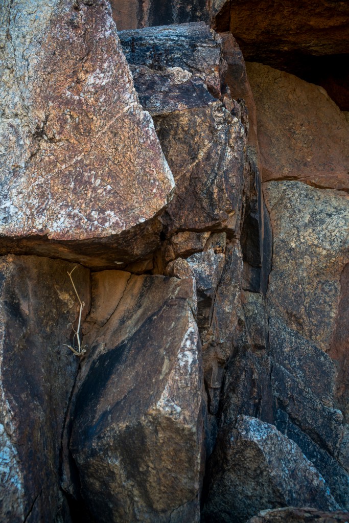
In the afternoon of day 8 walking I wandered into Terrapina Gorge on my own as the rest of the group had decided to walk along the Terrapinna Tors trails, rather than entering the gorge. As I slowly made my way upstream, the stranded logs in the trees gave me a sense that a lot of flood water would have flowed through Hamilton creek when the northern monsoons reached the northern Flinders Ranges. As I walked along the rocky walls and sculptured basins I realized that many of Australia’s meandering ephemeral rivers drain inland, that they often end in ephemeral salt lakes (eg., the Lake Eyre drainage basin) and that many of the features of the internal drainage pattern have a very long history.
I wondered how was this gorge part of Australia’s geological past, its deep time of settlement and it being the home for the oldest continuing cultures in human history? From memory the last glacial period was at its most intense about 20 000 years ago, and by around 11,700 years ago the ice had retreated, the sea level had risen, and the land bridges to New Guinea and Tasmania (which had formed the single continent of Sahul) began disappearing under the rising sea. Around 6000 years ago Australia became an island continent. If the First Nation’s people had been in Australia for 65,000 years, then they would have lived through the last ice age and the subsequent dry periods.

Leave a comment