
The drive on the Outback Highway from Hawker to the National Park Head Quarters at Balcanonna in the Vulkathunha-Gammon Ranges went north to Parachilna and Copley, and then north east via Nepabunna and Italowie Gorge. The highway to Copley followed the old Central Australia Railway, which closed in 1980 when the standard gauge Tarcoola–Alice Springs Railway that went west of Lake Torrens was opened. It was an uneventful drive.
Both the surveyed hundreds in the arid lands in the 1870s and the development of the old central railway north in the 1880s were done in anticipation of the continuing northward advance of cropping. ‘Rain would follow the plough’. The droughts of the early 1900s saw the retreat of agricultural and today many of the sections of these far northern hundreds are parts of large grazing properties (stations).
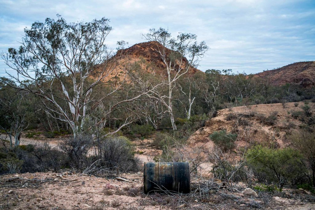
We were to stay at the Shearers Quarters during our 6 days of walking in the Vulkathunha-Gammon Ranges National Park. The first walk the following day (31 July) would be in Weetootla Gorge and to Grindals Hut and return. In the early morning prior to this walk I wandered around an overcast Balcanoona taking a few photos.

Leave a comment