Category: South Australia
-
Iron Knob + history

When I made a quick visit to the Eyre Peninsula in late 2023 with Maleko, our standard poodle, we camped overnight at Iron Knob in South Australia’s Middleback Range. I wanted to spend some time walking around this old mining town to see what was left. I had briefly visited it in passing through the…
-
Bararranna Gorge: deep time
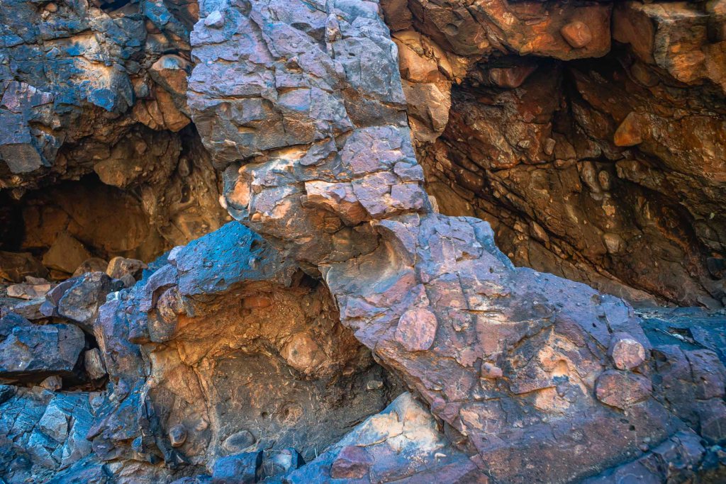
Monday (July 25th) was the day of the Bararranna Gorge walk. We had walked the Bararraanna Gorge trail last year. We remembered the various waterholes, the Sturt Desert peas in the creek beds and the rock formations in the gorges. The bushwalking groups deem it to be moderately challenging (C+) and it is a popular…
-
Balcanoona

The drive on the Outback Highway from Hawker to the National Park Head Quarters at Balcanonna in the Vulkathunha-Gammon Ranges went north to Parachilna and Copley, and then north east via Nepabunna and Italowie Gorge. The highway to Copley followed the old Central Australia Railway, which closed in 1980 when the standard gauge Tarcoola–Alice Springs Railway…
-
leaving Lake Frome

The morning (1/6/21) of our short walk away from Lake Frome to our pick up point for the return to Blinman was heavily overcast. We could see rain in the northern Flinders Ranges. Lake Frome at the south eastern end of the Lake Eyre Basin to be an intersection point between the winter rains from…
-
Lake Frome: long history and deep time
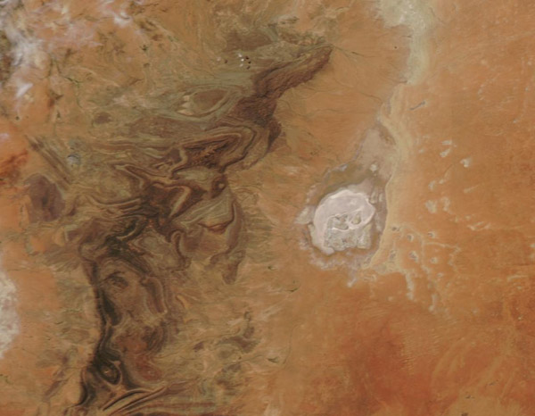
I never made it to Lake Frome proper as we camped on a sand dune on the edge of Chambers Creek floodplain near the western shoreline of this ephemeral lake or salt pan. This stretches over a depression approximately 30 miles wide and 60 miles long It is the most southerly playa in an arc…
-
to Lake Frome
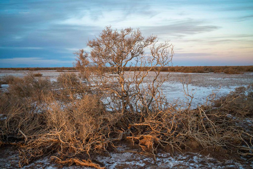
Finally, the day (31st May) that we would reach at Lake Frome dawned. The early morning light was stunning, whilst the colours of the plants on the 2 tree plain were overwhelming.
-
Camel Trek to Lake Frome: Day 1
The camel trek from Blinman to Lake Frome through Mt Chambers Gorge took place in late May 2021. Blinman’s history is one of copper mining. This was successful during the 1860s and the town was built on its success. The mine lasted until 1918 when the ore finally ran out. We arrived late at Blinman…
-
Reflections on 2018 camel trek

The photographs on the 2018 camel trek to Mt Hopeless were made naively, with little awareness of the geological history of the Flinders Rangers. I had a vague awareness that the southern Flinders Rangers were conventionally seen as barren, desolate, empty and hostile — a wasteland, desert or timeless land. This is in contrast to…
-
Mt Hopeless

Finally we made it to Mt Hopeless. It was just a morning walk across a gibber plain from the over night camp on the dusty clay plain. 12 days walking with the camels had come to an end. The snapshot below is looking south across the camel train to where we had walked. It is…
-
the final leg

We camped the night on a dusty plain before walking to Mt Hopeless the following morning.
