
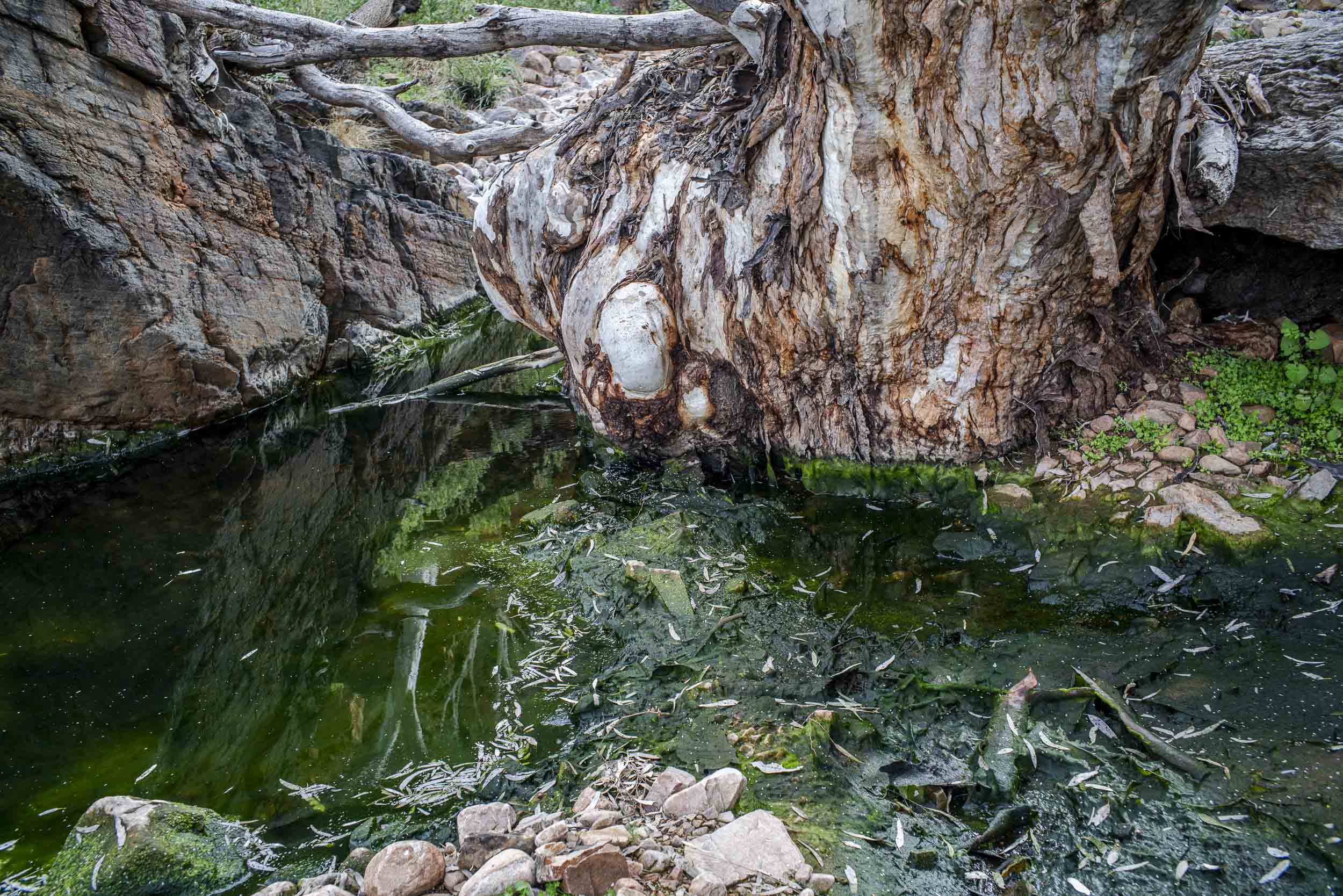
We eventually reached the bottom of Bunyip Chasm where we had our lunch.That walk took 1.5 hours following unofficial markers. The cliff walls were high and there was plenty of water.
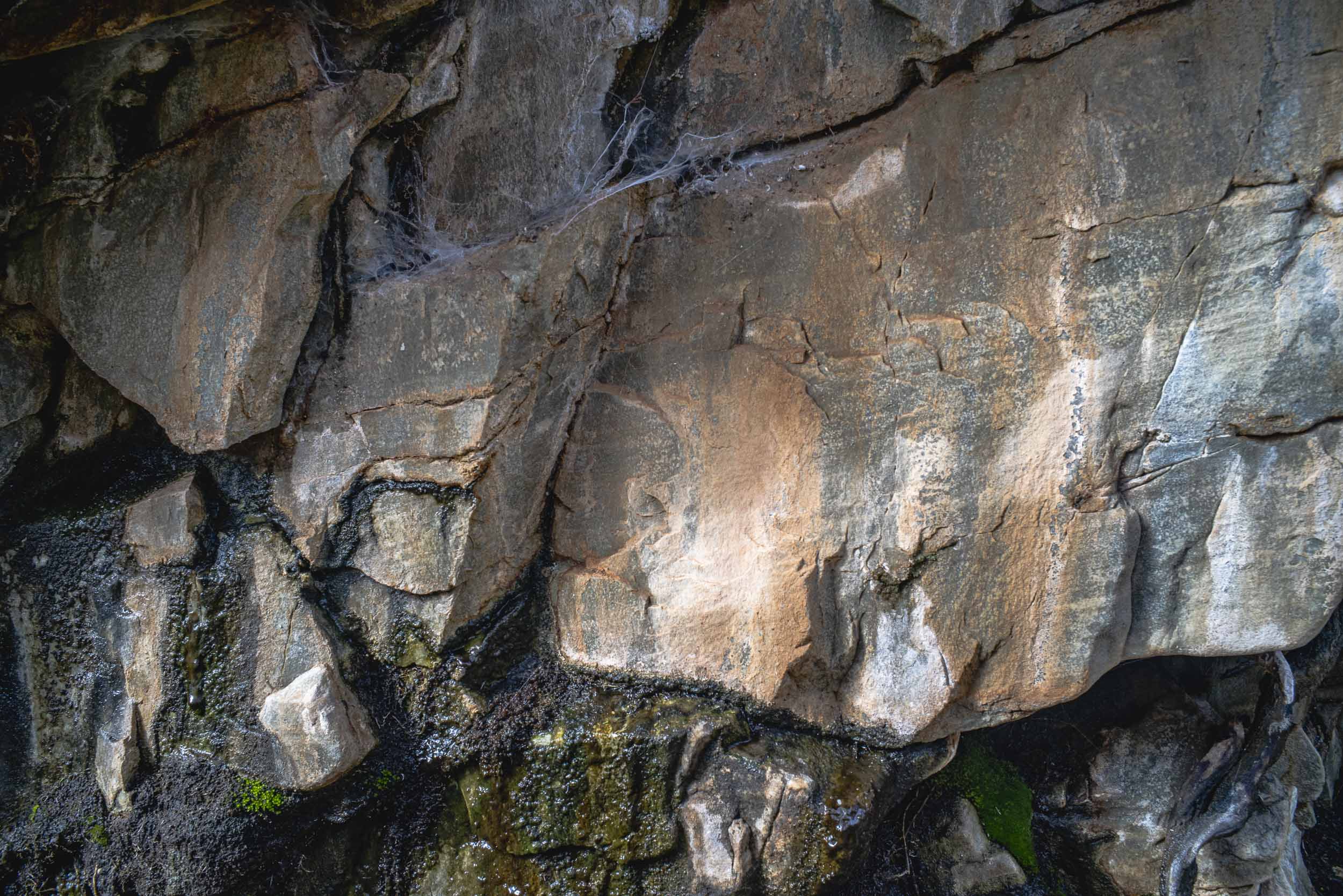
I wasn’t sure whether could climb into the chasm following the creek or whether we had to scale the small sheer wall. It looked the latter as the water appeared to block the way.
However, we had run out of time as we needed to get back to the Nudlamutana hut before 5.30 pm, which was dusk. So we turned back.
National Parks warns that it is trail is remote and you to be careful. I am not sure why National Parks doesn’t have a marked trail for this walk as it is an excellent walk up the creek bed. Is it a lack of money? Lack of volunteers?
This is looking to Mt McTaggart as made our way back to the Arkaroola Road:

I presume the stone water tank is from the pastoral days of the Arkaroola Pastoral Station prior to 1968. It must have been marginal sheep country as drought is the norm and the land can be devastated. As this is inaccessible, incredibly rugged, semi-arid country it is no surprise that the lease became derelict .
The limits of pastoralism resulted in exploratory searches for uranium in the region around Mt Painter after 1945. It look promising option given the history of discoveries in the early 20th century. Fortunately, in 2011 mining, exploration and grazing was banned in Arkaroola. In-situ recovery uranium mining continues in the Lake Frome Basin with the Beverley and Four Mile mines.

Leave a comment