Tag: rocks
-
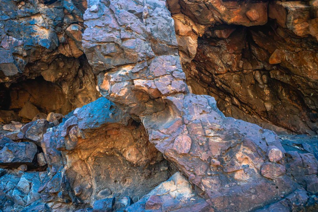
Kingsmill Creek + Arkaroola reef

As it was mentioned in this earlier post we spent the afternoon of our last full day in the semi-arid mountainous landscape of the Vulkathunha-Gammon Ranges National Park walking in the Kingsmill Creek Gorge. The creek is accessed from the road to the Paralina Hot Springs, which I haven’t been to. We had been to…
-
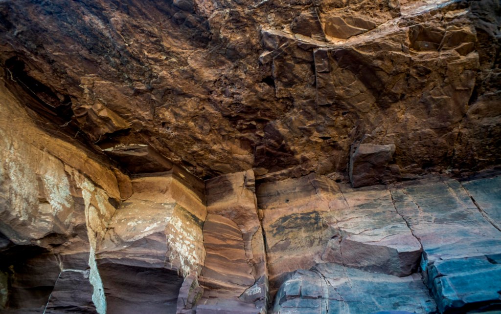
Bararranna Gorge: deep time
Monday (July 25th) was the day of the Bararranna Gorge walk. We had walked the Bararraanna Gorge trail last year. We remembered the various waterholes, the Sturt Desert peas in the creek beds and the rock formations in the gorges. The bushwalking groups deem it to be moderately challenging (C+) and it is a popular…
-
Italowie Creek Walk
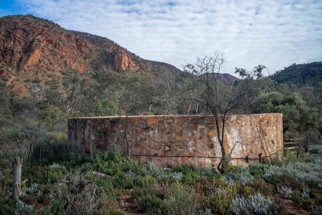
We drove the 30 or so kilometers on the Gammon Ranges Road from the Nudlamutana Hut to the Italowie Gap campsite going past Balcanoona Station and the nearby Echo cliffs. I spent a bit of time wandering around the Gap taking photos of the traces of pastoralism before we started our walk to the gorge…
-
to Bunyip Chasm

It was a slow drive in the Subaru Outback from the Nudlamutana Hut where we staying to Bunyip Chasm via the Mt McTaggart track, then on part of the Wortupa Loop Track in the Illinawortina Pound. We carefully drove to Grindell’s Hut and then onto Loch Ness Well campground. It took us around 3.5 hours.…
-
Brachina Gorge

On our last full day in the southern Flinders Ranges we drove through Brachina Gorge which runs through the Heysen Range towards Lake Torrens. We started from the Blinman Hawker Rd, exited on the road to Parachilna + Leigh Creek, then returned to Hawker via the Moralana Gorge Rd through the Elder Range in the…
-
The Mawson-Spriggina walk

The second walk was an easy one. It started from the Arkaroola Village complex. It follows the Mawson Valley and returns along the Spriggina ridge. The walk is named after two geologists who had a long association with the northern Flinders Ranges — Douglas Mawson and Reg Sprig. Or more accurately, Spriggina refers to a…
-
Camel Trek to Lake Frome: Wirrealpa Mine
I was able to do some hand held film photography with the Rolleiflex TLR in the early morning of Day 4 in the creek bed opposite our camp. (The film still needs to be processed). I was starting again after losing the previous roll of photos made during the previous three days. This was Adnyamanthanha…
-
Terrapina Gorge + Tors

I mentioned in the earlier maps and territories post that on Day 8 we’d made our way to a camp near Terrapinna Gorge in the north east of the Flinders Ranges, and that we had an afternoon to explore both the gorge and the Terrapinna Tors. By this stage I was beginning to develop a…
-
walking in the Blue Mine Creek bed
At the end of the first day of walking we camped at a wonderful campsite close to Blue Mine Gap on the north western edge of the Gammon Ranges. We were walking in there of Sir Douglas Mawson’s 1906 explorations into the geology of the northern Flinders Ranges. In the 1920s and 1930s Mawson amongst others…
