
Rain falls in the Gammons and northern Flinders Ranges (Arkaroola and north) area over summer, not winter. The rain season correlates with the wet season in the continent’s tropical north, rainfall comes from dissipating tropical storms and cyclones.
There had been no rain in this region for ten years so we couldn’t rely on finding drinkable water in a drought stricken country. The camels were carrying our water as well as food and swags. The lack of freshwater in the waterholes meant that it would not have been possible to walk this country without the camels.
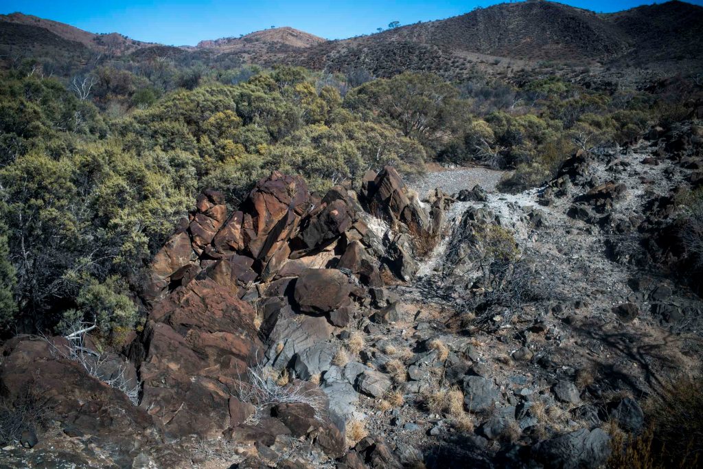
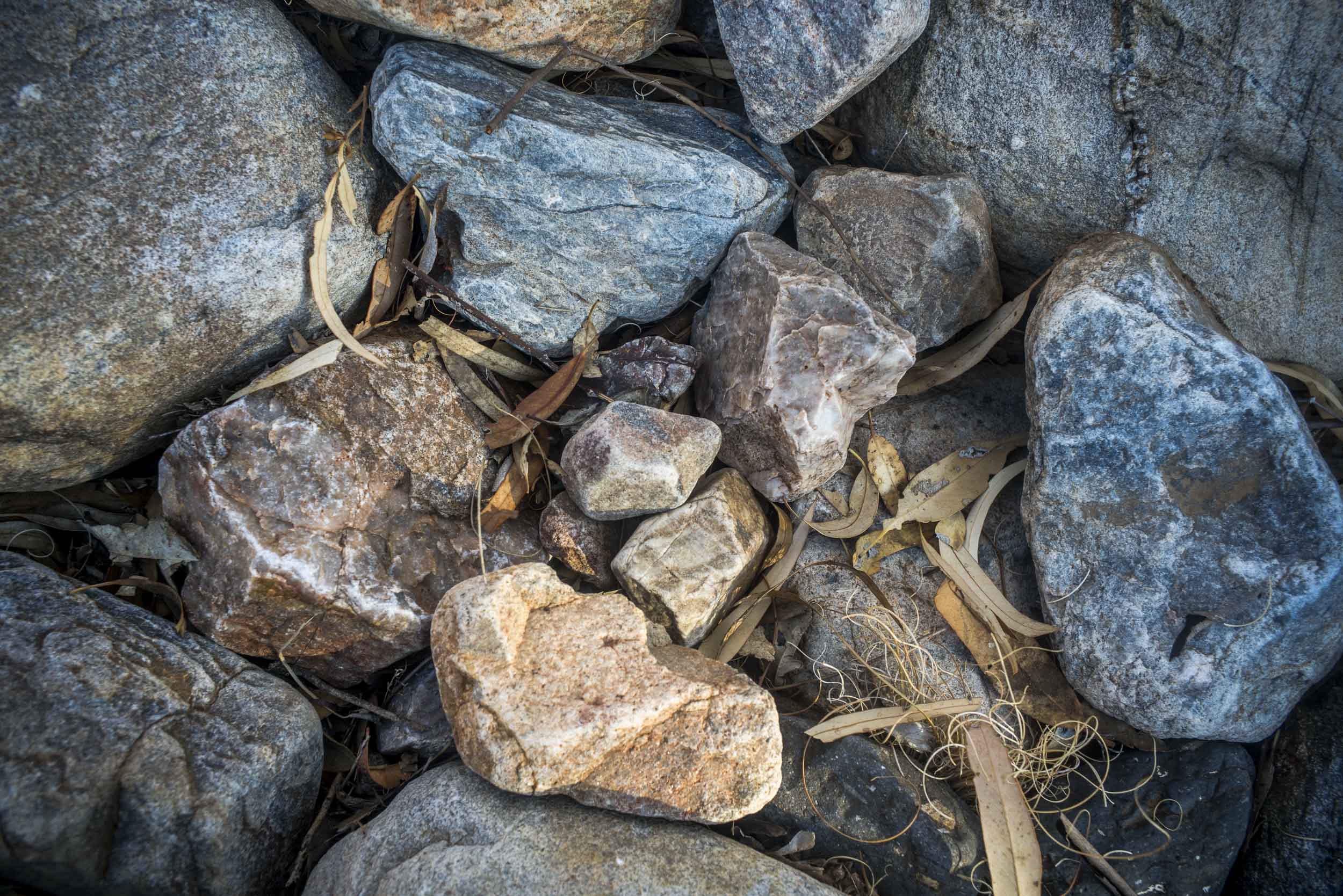
Ridge and valley topography predominated in this arid landscape in the northern Flinders Ranges. The sparse vegetation (including) spinifex and loose, shattered rock is interspersed with numerous eroded granite boulders.
From its headwaters high up in Mawson Plateau, Hamilton Creek (intermittent) drains initially north east to Moolawatana Station then swings south east from which it finally decants (rarely) into Lake Callabonna, a dry salt lake that is an important site for late Pleistocene fossils. This lake is one of the many large salt lakes that form a horseshoe around the Northern Flinders Ranges.
The area, the home of the Adnyamathanha people, was occupied at least from some 49,000 years ago–as date obtained from a site known as the Warratyi rock shelter, south of the Mawson Plateau. Evidence from Warratyi shows the use of key technologies such as stone axes and ochre. The site also had evidence that humans existed alongside of, and hunted megafauna.
It was hard going walking along the dry, stony creek bed. The creek broadens out as it flows north east, and it becomes very wide in places–probably several kilometres wide in places.
We camped in the creek bed on the night of day 6. There was no water in The John Waterhole –it had dried up. During the day’s walk we had seen a yellow footed rock wallaby, and during the night we heard the dingoes on the bluff above the creek bed.
The granite walls of the gorge in the Hamilton Creek were visually impressive—forged by millions of years flooding. After ten years of drought it was hard to imagine a huge river flowing through the gorge.
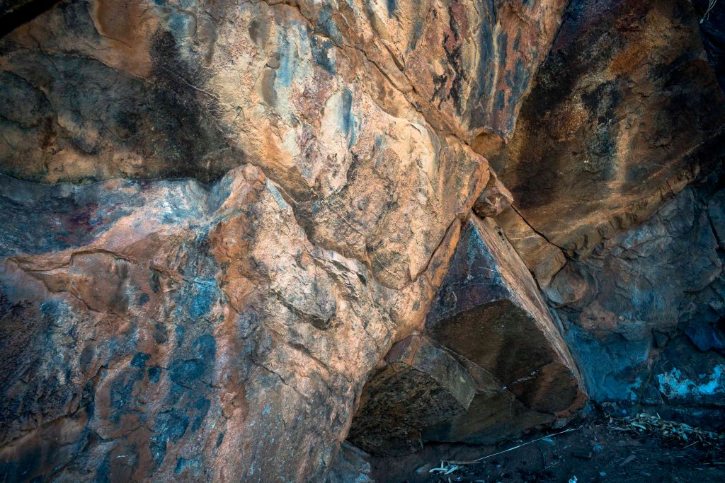
Narrow gorges like this slow down the scouring flood flows causing the stranding of logs high above the normal creek level. I would mostly photograph along the creek bed after we’d finishing walking for the day.
Below is the creek bed and bluff in the early in the morning. This is near where I swagged for the night.
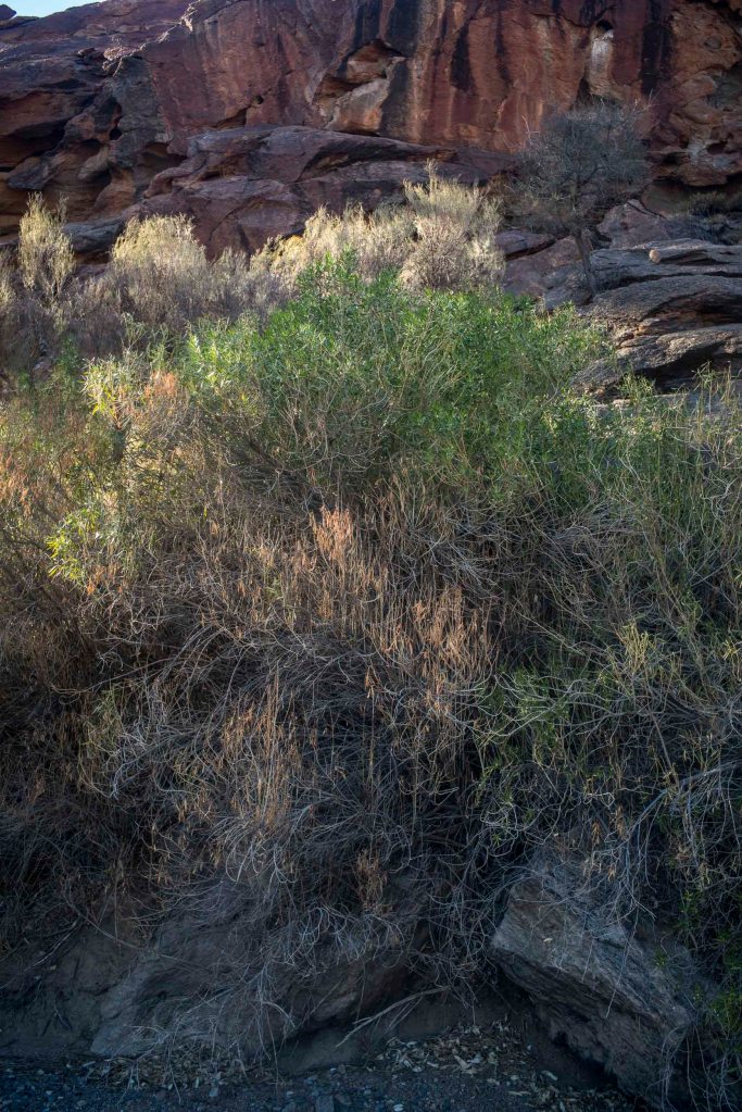
By Day 6 I had become aware of the softness of the light in the early morning compared to its harshness during the day. On the other side of the creek stood the ruins of a shepherd’s hut. Presumably, it was situated there overlooking the creek because there was usually water in the waterhole.

Leave a comment