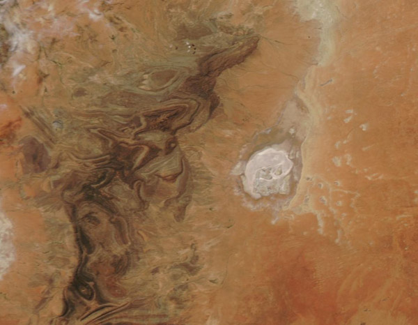
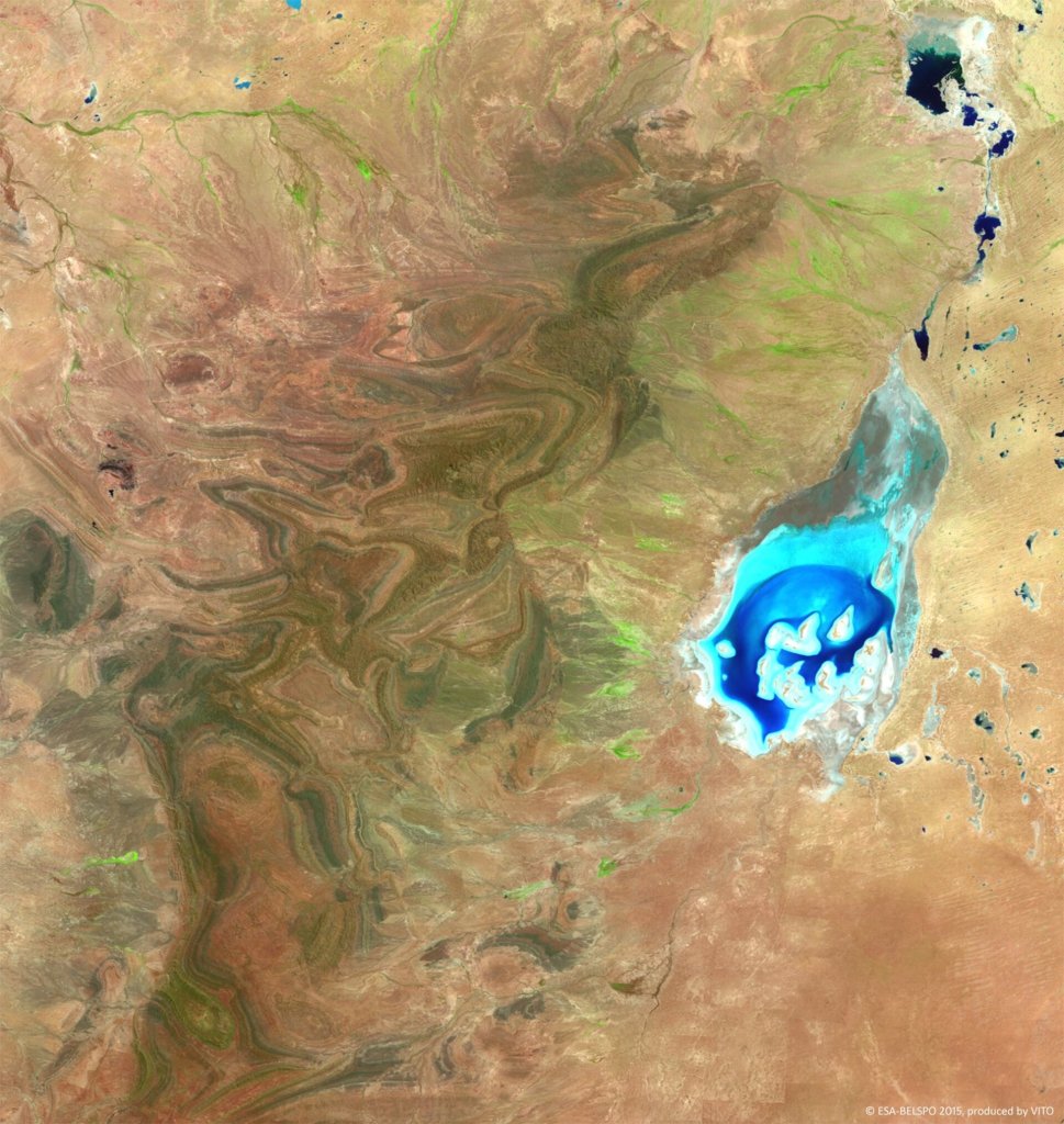
A European Space Agency Proba-V minisatellite picture is of standing water in Lake Frome circa February 2015:
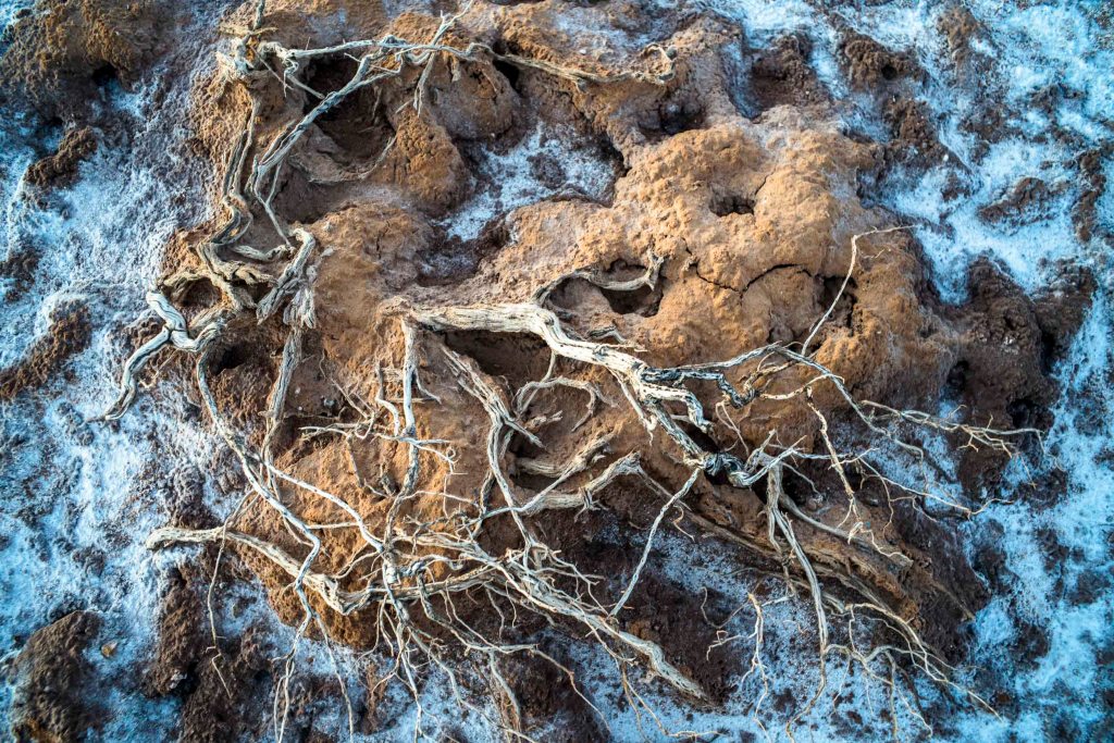
As monsoonal rains had fallen in the northern Flinders Ranges earlier in the year (January 2021, ) so the floodplain was crusty, dry mud surrounded by large patches of salt:
This region was geologically old. The 24 million history is one of Australia gradually transforming from a humid forested land to an arid continent. Crudely, the recent archaeological history is the last glacial maximum around 26,000-19,000 years ago, which was characterized by a climate that was colder and more arid than today. Lake Frome was dry. These conditions would have required extensive adjustment for the human population. Since the northern Flinders Ranges would have been better watered than the plains, these major ranges would have become glacial refugia for the various highly mobile aboriginal people (or tribes).
It would have been during the global warming in the early to mid-Holocene (11,000 to 4000 years ago) with the re-establishment of the monsoonal rains that people would have started making visits of longer duration to the shores of Lake Frome. This became a shallow brackish lake around 11, 000 years ago due to the increased monsoonal rainfall; then an ephemeral hypersaline playa as the region became more arid.
Reference: Mike Smith, The Archaeology of Australia’s Deserts, Cambridge University Press, 2013.

Leave a comment