Tag: camel trek
-
Interlude: a video
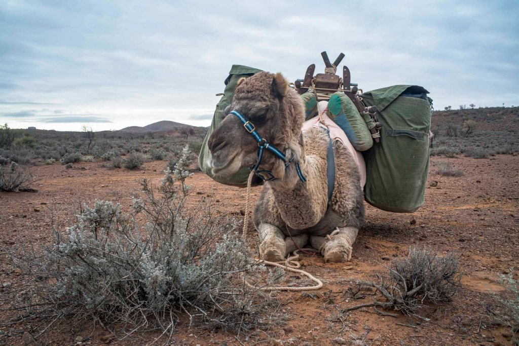
The little video below was made whilst I was on the 2021 camel trek to Lake Frome from our starting point at the township of Blinman in South Australia. It was made on the morning of the day that we walked into Mt Chambers Gorge just after lunch. I made a couple of ‘loading the…
-
leaving Lake Frome

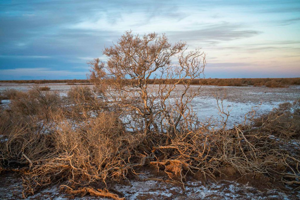
The morning (1/6/21) of our short walk away from Lake Frome to our pick up point for the return to Blinman was heavily overcast. We could see rain in the northern Flinders Ranges. Lake Frome at the south eastern end of the Lake Eyre Basin to be an intersection point between the winter rains from…
-
Lake Frome: long history and deep time
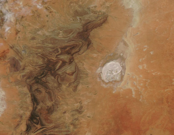
I never made it to Lake Frome proper as we camped on a sand dune on the edge of Chambers Creek floodplain near the western shoreline of this ephemeral lake or salt pan. This stretches over a depression approximately 30 miles wide and 60 miles long It is the most southerly playa in an arc…
-
to Lake Frome
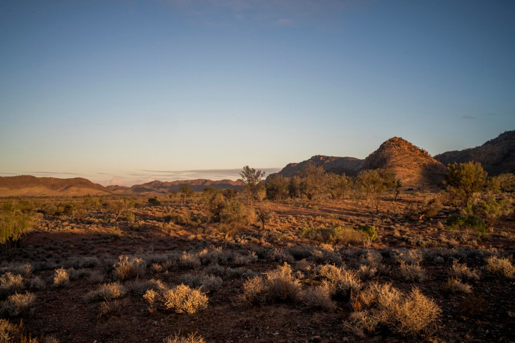
Finally, the day (31st May) that we would reach at Lake Frome dawned. The early morning light was stunning, whilst the colours of the plants on the 2 tree plain were overwhelming.
-
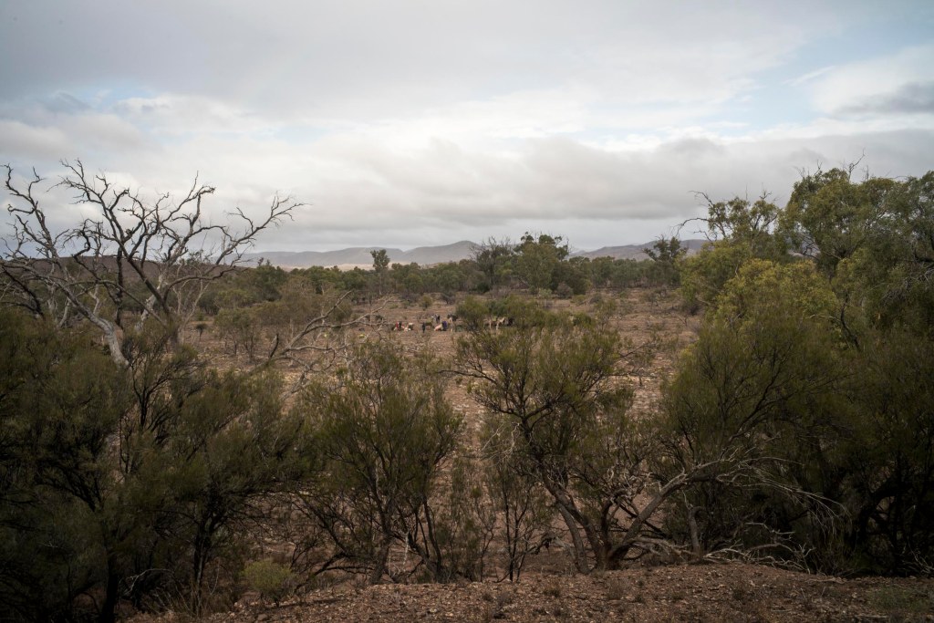
Two Tree Plain

We camped overnight on the plain between Chambers Gorge and Lake Frome after we walking over the low scrub of the flat plain with its Eremphila duttonii We had walked alongside Chambers Creek as it made its way east to Lake Frome. Chambers Creek started at the eastern mouth of the Chambers Gorge — for…
-
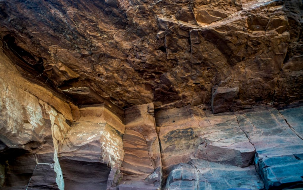
Mt Chambers Gorge

After leaving the side gorge with its rock drawings we continued walking through Mt Chambers Gorge (Marlawadinha Inbiri) with its high orange coloured limestone walls and big river gums during the afternoon of the 28th May. Ptilotus or mulla mulla with the purple, pink, silver, and yellow candlestick flowers were growing profusely in the creek…
-
Benbibuta Creek
Day 6 (ie .26th May) was one of clear skies, a cool wind, and puffy clouds during the afternoon. The day temperature was around 18 degrees. This is pleasant walking weather in an arid country. We walked across a plain to the east of the Wirrealpa Range crossing the various creek beds that flowed into…
-
co-existence
On Day 5 there was a sprinkle of rain in the early morning, during breakfast and as we packed the camels. A sprinkle that just settled the dust and it cleared as we left Wirrealpa Creek. We were still on Wirrealpa Station, and Ryan and Kym spent some time in the mid-morning looking for a…
-
Camel Trek to Lake Frome: Wirrealpa Mine
I was able to do some hand held film photography with the Rolleiflex TLR in the early morning of Day 4 in the creek bed opposite our camp. (The film still needs to be processed). I was starting again after losing the previous roll of photos made during the previous three days. This was Adnyamanthanha…
-
Camel Trek to Lake Frome: Day 2

It had been a warm night sleeping in the swag in the open air. Breakfast was around 6.30am in front of a fire. It was a cloudy morning and there was no wind. The aim of the 2nd day’s walk was to leave 2nd plain and reach 3rd plain, which also runs north south between…
