-
E.C. Frome’s expedition to Lake Frome

Three years have passed since the 2018 camel trek from Umberatana to Mt Hopeless. In early 2021 we decided to undertake another camel trek, this time to go east from Blinman through the Flinders Ranges via Chambers Gorge then follow Chambers Creek to Lake Frome. Early in 2021 I had come across some historical material…
-
Reflections on 2018 camel trek

The photographs on the 2018 camel trek to Mt Hopeless were made naively, with little awareness of the geological history of the Flinders Rangers. I had a vague awareness that the southern Flinders Rangers were conventionally seen as barren, desolate, empty and hostile — a wasteland, desert or timeless land. This is in contrast to…
-
Mt Hopeless

Finally we made it to Mt Hopeless. It was just a morning walk across a gibber plain from the over night camp on the dusty clay plain. 12 days walking with the camels had come to an end. The snapshot below is looking south across the camel train to where we had walked. It is…
-
the final leg

We camped the night on a dusty plain before walking to Mt Hopeless the following morning.
-
Captain Sweet, the Flinders + topographics
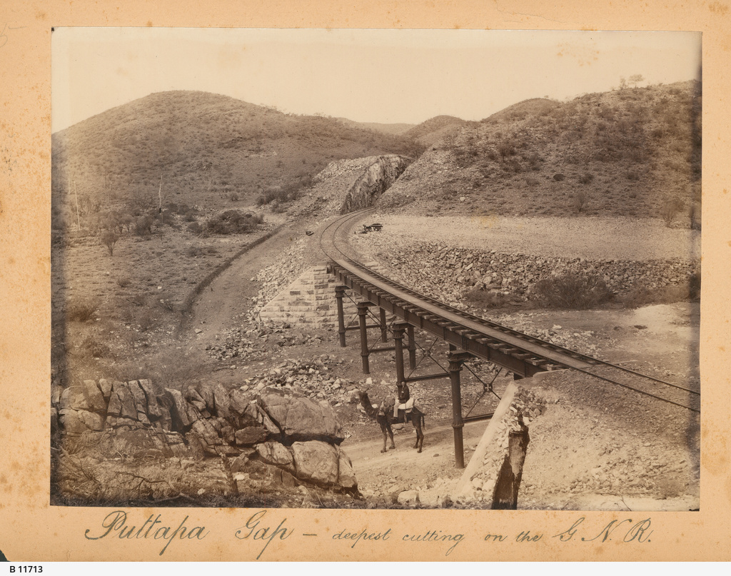
In 1882 Sweet travelled on, and photographed along, the Great Northern Line from Port Augusta to Farina
-
SA colonial photography: a note
In my search for information on expedition photography in South Australia I recently came across a book on colonial photography in Australia entitled Shifting Focus: Colonial Australian Photography 1850-1920
-
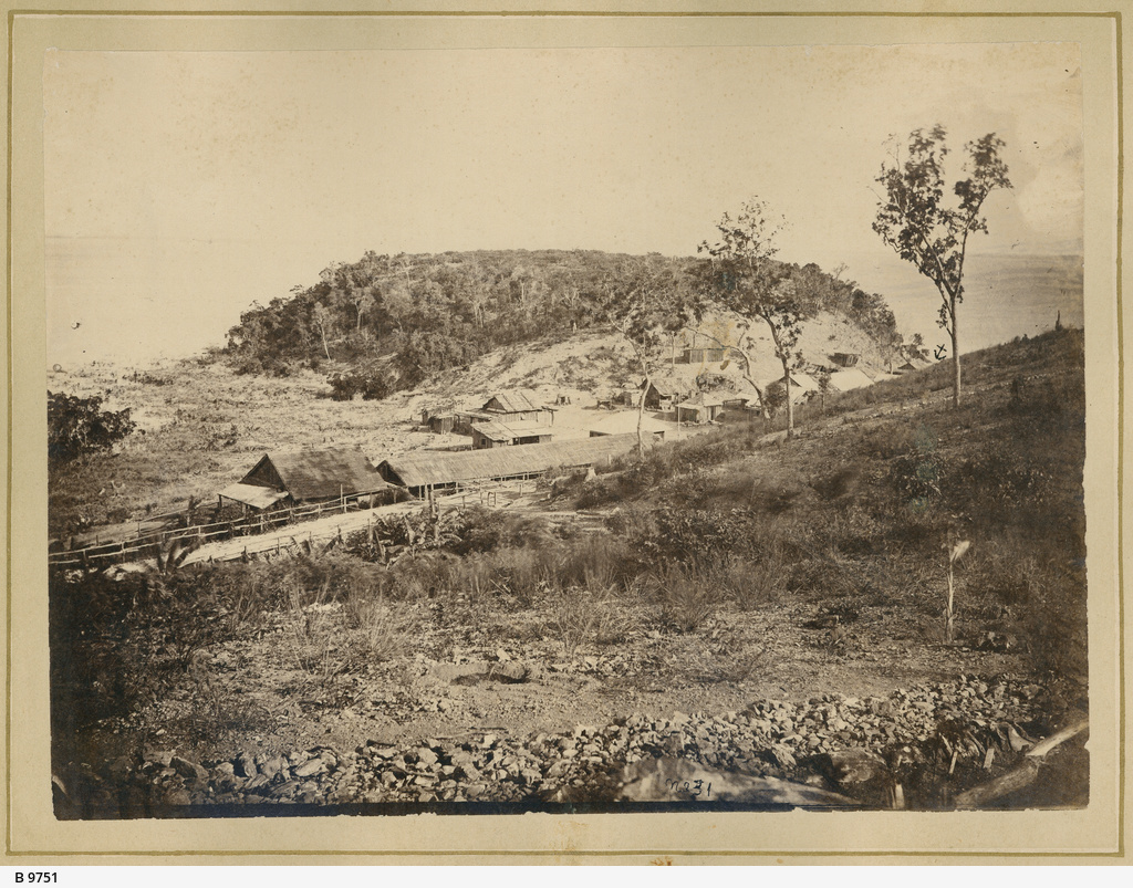
Colonial expedition photographs: an absence
I have been going through books on early photography in South Australia looking for 19th century photographs of the northern Flinders Ranges and northern South Australia. I was expecting to find examples of colonial expedition photography,
-
Camels + walking
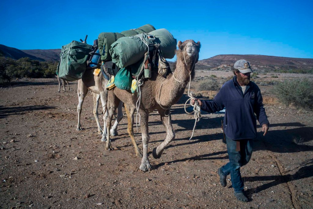
The cameleer history and its material culture from 1860-1920 has largely been forgotten. Little remains of this heritage. We have a fragmented history of an era that has almost slipped from view.
-
The dog fence + photographic eye

Day 11 was a 15 kilometre walk on a mild, dry winters day through Murnpeowie Station, over stony plains, lunch at Mundawatana Creek, then across a gibber plain, through the dog fence to a camp on a clay plain. Most of the trees were confined to creek beds and run-off areas. As we walked through…
-
Mt Babbage + photography

On Day 10 walking we left the Terrapinna Gorge and Tors, turned away from the ephemeral Hamilton Creek and started to make our way north to the end point of the northern Flinders Ranges. We were over half way to Mt Hopeless. It was sunny with a blue sky and just the odd cloud –not…
-
Subscribe
Subscribed
Already have a WordPress.com account? Log in now.
