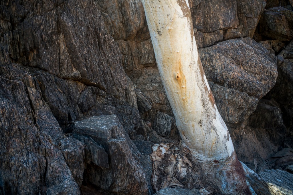
Apart from the rancid waterhole at the entrance to the gorge, the gorge was bone dry with little hint of groundwater. I thought that I could easily retrace my steps as I made my way along the narrow gorge noting the significant landmarks including the defunct flow gauge station at the entrance to the gorge.
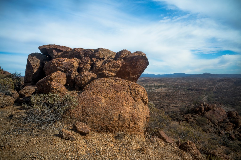
Unfortunately I lost my way on the return. Things looked very different on the return trip. I no longer recognized the significant landmarks. I ended up walking along the Terrapinna Tors trails through the granite rocks amongst the low hills that were such a contrast to the flatness of the general landscape. The soil was old and impoverished with the surface covered by red-coloured regolith.

As I looked across to Mt Babbage (Mt Hopeful) a very old, weathered landscape. It was only latter that I became aware that this was the northern part of an ancient trough — the Adelaide Superbasin (previously the Adelaide Geosyncline and the Adelaide Rift Complex). Nor did I realize that this landscape was as old as 500 – 850 million years — going back to the pre-Cambrian period when Australia was part of the barren Rodinia (previously called Pangaea) supercontinent that was breaking up. The latter Cambrian period (540 million) was one of glaciation, shallow seas covering much of South Australia, and an explosion of marine life forms. South Australia was a global hotspot of biotic diversity.
What this meant is that the South Australian landscape is a complex mosaic of many superimposed landscapes that had developed during vastly differing climatic conditions. These ancient landscapes have been preserved due to tectonic stability of the island continent and they became increasingly arid.
Though I’d rejected the idea that Aboriginal people were an unchanging people living in an unchanging environment there were great gaps in my understanding of Aboriginal history, deep time and Aboriginal societies prior to European colonization. To address this I turned to Philip Jones’ Ochre and Dust: Artefacts and Encounters on Australian Frontiers . Jones says that in the second part of the 19th century white settlement in the northern Flinders Ranges was sparse, pastoralism consisted of a series of sheep runs and colonial settlement was little more than outposts of a small and scattered white population.
This territory was criss-crossed by the trade routes of Indigenous people. The Dieri people, east of Lake Eyre, South Australia, would send armed bands of 70-80 men 500 kilometres to the south to barter with the traditional owners of the mine, the Adnyamathanha people, for the red ochre at the Pukardu mine. In the 1860s these expeditions posed a continuing threat to the pastoralist’s expanding herds of sheep and cattle with the the response by settlers, armed pastoralists and police being reprisals and pacification until there was accommodation on both sides after the 1880s. These expeditions gradually stopped by the 1930s when Mountford visited Nepabunna.

Leave a comment