I was able to do some hand held film photography with the Rolleiflex TLR in the early morning of Day 4 in the creek bed opposite our camp. (The film still needs to be processed). I was starting again after losing the previous roll of photos made during the previous three days.
This was Adnyamanthanha country, and I was a stranger walking through it with no knowledge of their history, the geography of the various watercourses and creeks that came down from the northern Flinders Ranges and flowed east towards Lake Frome or the historical geology of the country. I knew nothing about the frontier wars in the northern Flinders; nothing about the sites of significance for the Adnyamanthanha people; the stories for those sitesor the power of particular places in this country.
I presumed the pastoralists in the mid-nineteenth century regarded the country — including the waterholes and springs — as their land despite only having a lease. The Adnyamanthanha people were free to move across the pastoral leases which were for grazing purposes only. Both pastoralists and the Adnyamanthanha people shared the land according to the High Court’s 1996 Wik Judgement’s interpretation of the nature of the pastoral lease.

However, the pastoralists viewed the Adnyamanthanha people as invaders with no rights to the land, and they had no reservation about killing the Adnyamanthanha whilst taking their water and hunting grounds from them. The Adnyamanthanha people, especially during the drought in the mid-1860s, raided the stock and the colonists huts for food and killed the hut keepers. The pastoralists retaliated and the police would then be sent to hunt the Adnyamanthanha down to protect the pastoral industry.
This was the frontier. The logic was simple: –the border wars were about the ownership and control of the land, about taking it by force from those who had been in possession for 40-50,000 years.
The pastoralists kept expanding — by the 1860s they had moved beyond Mt Hopeless to Lake Blanche. The Lutheran mission (Bethesda) was established at Lake Killalpaninna in 1868, where the missionaries tried to create a German agrarian community based on sheep, goats and growing vegetables in Dieri country that was shaped by the extreme cycles of drought and flood. The Nepabunna mission in the northern Flinders was established in 1931.
So what happened to the Adnyamanthana people between the 1860s and 1931? They had survived the loss of their country. But how? What was the long, entwined colonial history between the Adnyamanthanha people, pastoralists and the state? Were the Adnyamanthanha people more than fringe or camp dwellers near the station’s homestead?

The historical discourse of Australian history has been one of the displacement of Aboriginal people and the establishment of settlers as the natural occupants of the land. The historical narrative is one of a progressive embrace of modernity. So where were the memorials or monuments to the more than 20,000 indigenous people killed in the frontier or border wars in Australia?
We were still walking on Angoriachina Station walking in a north easterly direction from our starting point at Blinman. We walked close to Red Hill and the western boundary of Wirrealpa Station as we traversed various ridges and tablelands with their various water erosions. It was slow going for the camels as we made our way through various old pastoral fences that were in a rundown condition. Sometimes we found a gate, other times we looked for a fallen part of the fence lying flat on the ground. I didn’t understand why the fences were where they were. Were they to prove the pastoralist’s developing the unimproved land?

It was hot, dry and dusty walking across the clay and stony plains with their minimal salt and blue bush vegetation. Lots of flies. The country looked to be in a bad condition from excessive grazing –some of it looked too degraded to rehabilitate. Rehabilitation would need to be on a massive scale and very expensive.
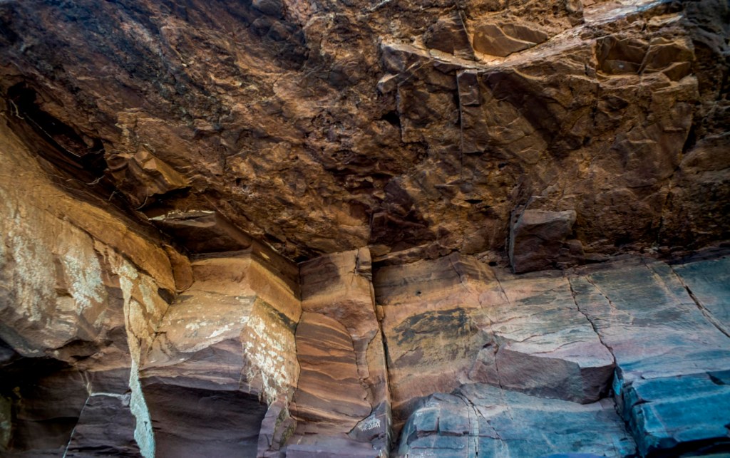
We crossed the road from Blinman to Wirrealpa (which takes you to the Junta-Arkaroola Rd) and then walked along Eregunda Creek which discharges into Wirrealpa Creek. We made our camp adjacent to a creek bed near the ruins of the small Wirrealpa Silver-Lead Mine. The cliffs of the creek bed or water course were limestone. There was no water in the creek that came from the ranges in Wirrealpa station.

Leave a comment