Category: landscape
-
The dog fence + photographic eye

Day 11 was a 15 kilometre walk on a mild, dry winters day through Murnpeowie Station, over stony plains, lunch at Mundawatana Creek, then across a gibber plain, through the dog fence to a camp on a clay plain. Most of the trees were confined to creek beds and run-off areas. As we walked through…
-
Mt Babbage + photography

On Day 10 walking we left the Terrapinna Gorge and Tors, turned away from the ephemeral Hamilton Creek and started to make our way north to the end point of the northern Flinders Ranges. We were over half way to Mt Hopeless. It was sunny with a blue sky and just the odd cloud –not…
-
maps + territory

On this stage of walking the country I was reminded of Baudrillard’s proposition in Simulacra and Simulation (1981) that the map precedes the territory.
-
re-assessing

I realized when I was at Karlu Karlu in 2016 hat I found the country in the northern part of South Australia (ie., north of Port Augusta) that we had passed through on the way to and from Lajamanu to be as interesting as the destination itself. I realized that wanted to explore this country rather than travel…
-
Karlu Karlu: photographing landscapes
On the return trip once we had linked up to the Stuart Highway via the Buntine and Buchanan Highways we moved quickly south trying to make up for extra time in taking the northern route from Lajamanu. Our aim was get beyond Tennant Creek so that we could camp overnight in our swags at Karlu…
-
photography after Lajamanu
We left Lajamanu via Top Springs so that we could link up to the Stuart Highway via the Buntine and Buchanan Highways. The Landrover’s compressor housing had been damaged, and so we had to avoid the long drive over the severe corrugations on the Tamani Road. Whilst having lunch at Top Springs I realised…
-
landscapes at Lajamanu

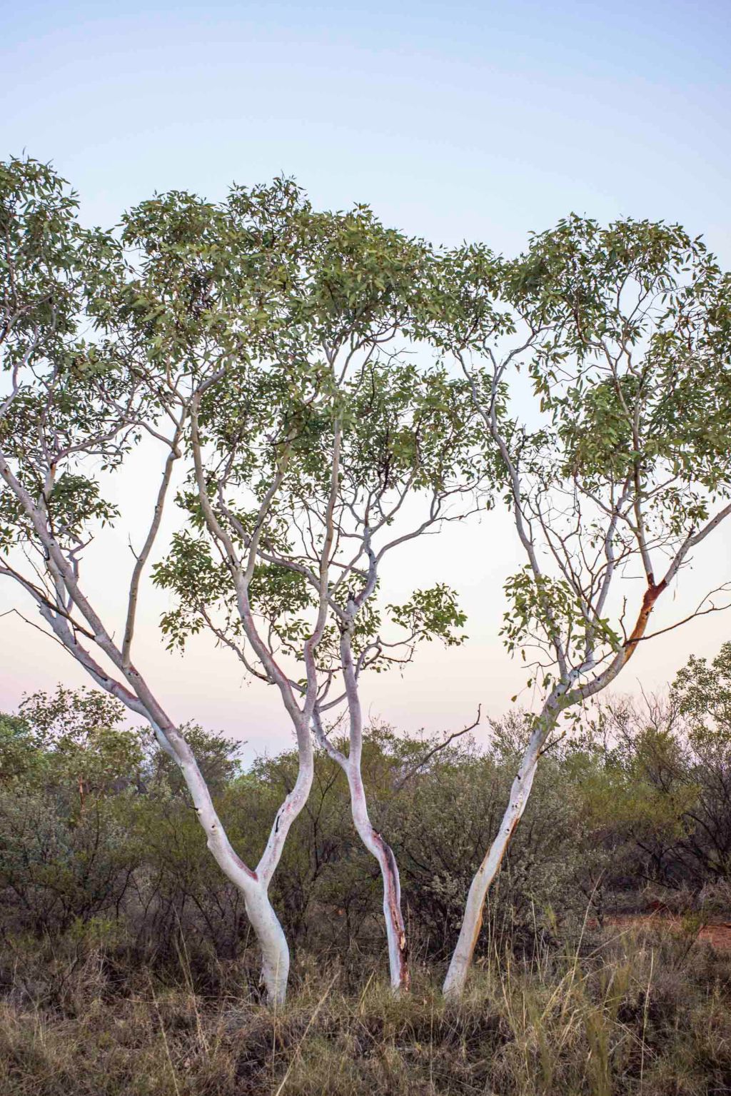
Whilst I was in Lajamanu I experimented with making a few black and white landscapes around Hooker Creek as well as making the coloured ones. These images show that the conventional idea of the arid landscape in this region of the Tanami desert as a timeless boring, barren landscape that you drive through to get to the…
-
more Tanami landscapes

The most seductive time for my photography in the Tamani Desert was just as the sun dipped below the horizon. The magic hour. Except that the hour was more like 15 -20 minutes: It was a world of gentle and subtle pastel colours. Even more so than just after dawn. I confess that I had the…
-
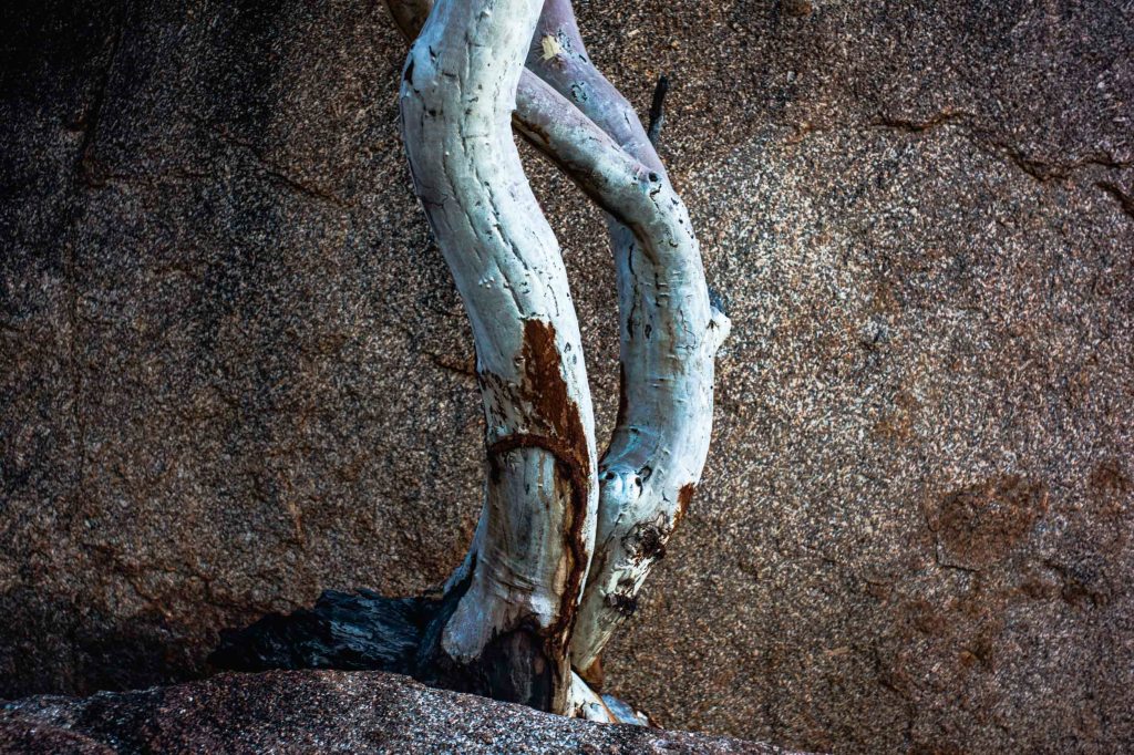
Hooker Creek

Whilst I was at Lajamanu I would sleep in a swag on the verandah of the Learning Centre, rise before dawn, quickly dress, then walk around the township taking photos before the early morning light became too bright. I usually ended up in the Hooker Creek area and wandering along the dry river bed as…
-
landscape, Tanami Desert
Late one afternoon whilst I was at Lajamanu I went on a brief phototrip with Helga Leunig to take photos of the Tanami Desert landscape. We travelled a short distance along the gravel road that provides access to the local cemetery and rubbish dump. This road north from Lajamanu, which connects Lajamanu to the Bunting…
