Category: on the road
-
Blinman
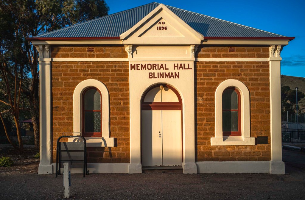
We returned to walking in the northern Flinders Ranges in the winter of 2022. This time we would be on our own both in terms of accommodation at Nudlamutana Hut and walking the various trails in the Vulkathunha-Gammon Ranges National Park and the Arkaroola Wilderness Sanctuary. We stayed overnight in a motel style accommodation behind…
-
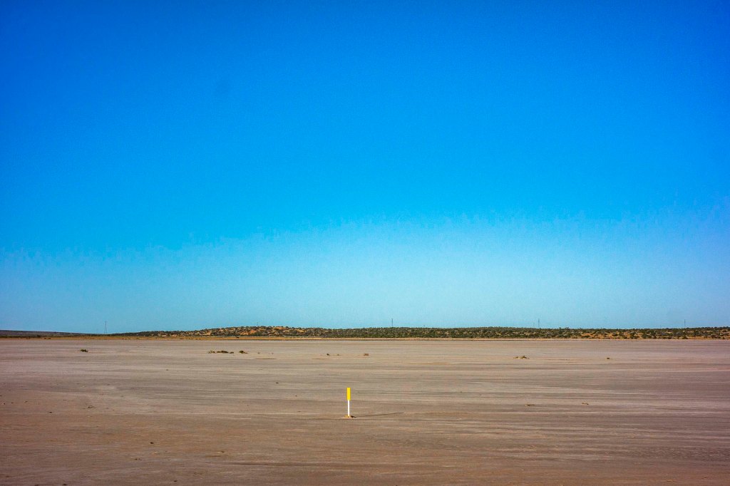
Andamooka, South Australia

As I have been going through my archives I realised that my travelling along the long road to the north did not start with the trip to Lajamanu as I had previously thought. I had actually been to Andamooka twice on roadtrips. The first road trip to Andamooka was in the 1990s where I had…
-
Karlu Karlu: photographing landscapes
On the return trip once we had linked up to the Stuart Highway via the Buntine and Buchanan Highways we moved quickly south trying to make up for extra time in taking the northern route from Lajamanu. Our aim was get beyond Tennant Creek so that we could camp overnight in our swags at Karlu…
-
photography after Lajamanu
We left Lajamanu via Top Springs so that we could link up to the Stuart Highway via the Buntine and Buchanan Highways. The Landrover’s compressor housing had been damaged, and so we had to avoid the long drive over the severe corrugations on the Tamani Road. Whilst having lunch at Top Springs I realised…
-
landscapes at Lajamanu

Whilst I was in Lajamanu I experimented with making a few black and white landscapes around Hooker Creek as well as making the coloured ones. These images show that the conventional idea of the arid landscape in this region of the Tanami desert as a timeless boring, barren landscape that you drive through to get to the…
-
the heavy weight of the past
The common interpretation of the frontier wars between settler Australia and the Aboriginal people is that this history is a case of a doomed hunter-gatherer people unable to withstand the agriculture, animal husbandry and machinery of modern capitalism. This downplays the history of the killing phases, segregation-by-incarceration phases, assimilation or absorption- to-the-point-of-disappearance phases, and the erasure-of-their- presence…
-
The Tanami + the Frontier wars

After meeting up with friends in a very green Alice Springs we set out on the 15 hour drive along the Tamani Road in Warlpiri country to Lajamanu. The history of this landscape is that of the Frontier wars involving a series of conflicts over 140 years (1788 to 1934) that were fought between Indigenous Australians and mainly…
-
Pimba and nuclear trauma

Our first overnight stop on the road to Lajamanu was Pimba and the caravan park at Spuds Roadhouse. Pimba is just down the road from the Defence -controlled town of Woomera and the Woomera Prohibited Area, which has been closed to the public since 1947, when it was used for Cold War rocket and nuclear tests by…
-
before and after Port Augusta
The landscape just south of Port Augusta (ie., after Port Pirie ) is quite different to the landscape north of Port Augusta on the way to Woomera. It is a study in contrasts: farmland and desert.
-
on the Goyder Highway

Since the stops to take photos would be few and far between due to time constraints, I choose to sit in the back of the LandRover Discovery on the Mildura to Pimba leg of our road trip to Lajamanu. It was going to be traveling all day with an occasional stop. I sat in the…
