Category: pastoralism
-
Acacia Ridge + yellowcake

Tuesday July 26th was our last full day of walking in the Vulkathunha-Gammon Ranges National Park. The plan was to make an early start, walk Acacia Ridge, have morning coffee at Arkaroola Village, walk back to the car along the Arkaroola Rd, have lunch amongst the river gums in the creek bed of Kingsmill Creek, then…
-
Italowie Creek Walk
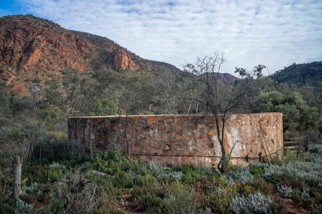
We drove the 30 or so kilometers on the Gammon Ranges Road from the Nudlamutana Hut to the Italowie Gap campsite going past Balcanoona Station and the nearby Echo cliffs. I spent a bit of time wandering around the Gap taking photos of the traces of pastoralism before we started our walk to the gorge…
-
Balcanoona shearing shed
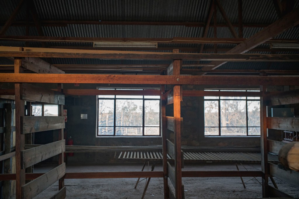
My time in the early morning before breakfast at Balcanonna was spent wandering around and inside the old shearing shed. I didn’t have that much time in the morning to wander too far between sunrise and breakfast as we had to be ready to meetup for the daily walks between 8.30-9am. The shearing shed was…
-
Two Tree Plain

We camped overnight on the plain between Chambers Gorge and Lake Frome after we walking over the low scrub of the flat plain with its Eremphila duttonii We had walked alongside Chambers Creek as it made its way east to Lake Frome. Chambers Creek started at the eastern mouth of the Chambers Gorge — for…
-
Pastoral landscapes

On the morning of Day 8 (28/5 2021) we looked back at Mt Johns from our drop off camp next to a dry creek bed. We prepared to walk towards Mt Chambers and Chambers Gorge via the various creek beds and ridges. The plan was to arrive at Mt Chambers for lunch. The morning dawned…
-
reading Henry Reynolds

I was reading Henry Reynold’s Frontier: Aborigines, Settlers and Land whilst walking on the camel trek in a north-easterly direction towards the barren salt-encrusted land in South Australia’s arid north east of Chambers Gorge that winds its way through the Wearing Hills. Whilst walking through the dry creek beds I found it difficult to grasp…
-
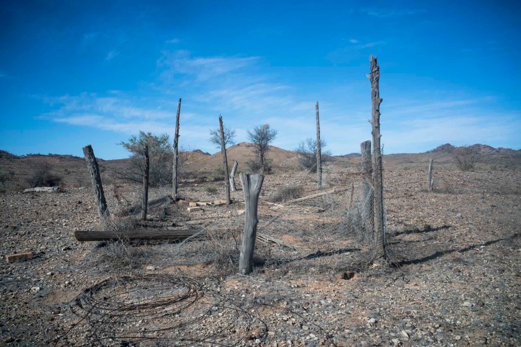
The dog fence + photographic eye

Day 11 was a 15 kilometre walk on a mild, dry winters day through Murnpeowie Station, over stony plains, lunch at Mundawatana Creek, then across a gibber plain, through the dog fence to a camp on a clay plain. Most of the trees were confined to creek beds and run-off areas. As we walked through…
-
the Adnyamathanha
There was very little discussion of the colonial history in the northern Flinders Ranges on the camel trek about what happened to the Adnyamathanha people in the northern Flinders Ranges. The history that was referred to, and talked about, was settler history: explorers, pastoralism, mining, Mawson’s expeditions using camels, and white men walking the northern…
-
pastoralism
The area we were walking through in the northern Flinders is known as South Australia’s Far North, which starts from the town of Blinman. The region has low rainfall mainly in winter, and averages about 200 mm/yr. It has very old hard rocks that were deposited between 500 million and 1,000 million years ago when…
