Tag: Flinders Ranges
-
Camel Trek to Lake Frome: Wirrealpa Mine
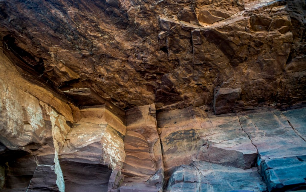
I was able to do some hand held film photography with the Rolleiflex TLR in the early morning of Day 4 in the creek bed opposite our camp. (The film still needs to be processed). I was starting again after losing the previous roll of photos made during the previous three days. This was Adnyamanthanha…
-
Camel Trek to Lake Frome: Day 2

It had been a warm night sleeping in the swag in the open air. Breakfast was around 6.30am in front of a fire. It was a cloudy morning and there was no wind. The aim of the 2nd day’s walk was to leave 2nd plain and reach 3rd plain, which also runs north south between…
-
Camel Trek to Lake Frome: Day 1
The camel trek from Blinman to Lake Frome through Mt Chambers Gorge took place in late May 2021. Blinman’s history is one of copper mining. This was successful during the 1860s and the town was built on its success. The mine lasted until 1918 when the ore finally ran out. We arrived late at Blinman…
-
E.C. Frome’s expedition to Lake Frome

Three years have passed since the 2018 camel trek from Umberatana to Mt Hopeless. In early 2021 we decided to undertake another camel trek, this time to go east from Blinman through the Flinders Ranges via Chambers Gorge then follow Chambers Creek to Lake Frome. Early in 2021 I had come across some historical material…
-
Reflections on 2018 camel trek

The photographs on the 2018 camel trek to Mt Hopeless were made naively, with little awareness of the geological history of the Flinders Rangers. I had a vague awareness that the southern Flinders Rangers were conventionally seen as barren, desolate, empty and hostile — a wasteland, desert or timeless land. This is in contrast to…
-
Mt Hopeless

Finally we made it to Mt Hopeless. It was just a morning walk across a gibber plain from the over night camp on the dusty clay plain. 12 days walking with the camels had come to an end. The snapshot below is looking south across the camel train to where we had walked. It is…
-
the final leg

We camped the night on a dusty plain before walking to Mt Hopeless the following morning.
-
Captain Sweet, the Flinders + topographics
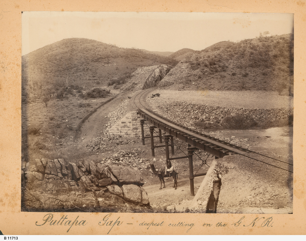
In 1882 Sweet travelled on, and photographed along, the Great Northern Line from Port Augusta to Farina
-
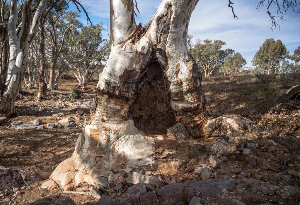
The dog fence + photographic eye

Day 11 was a 15 kilometre walk on a mild, dry winters day through Murnpeowie Station, over stony plains, lunch at Mundawatana Creek, then across a gibber plain, through the dog fence to a camp on a clay plain. Most of the trees were confined to creek beds and run-off areas. As we walked through…
-
maps + territory

On this stage of walking the country I was reminded of Baudrillard’s proposition in Simulacra and Simulation (1981) that the map precedes the territory.
