Category: rocks
-
Camel Trek to Lake Frome: Wirrealpa Mine
I was able to do some hand held film photography with the Rolleiflex TLR in the early morning of Day 4 in the creek bed opposite our camp. (The film still needs to be processed). I was starting again after losing the previous roll of photos made during the previous three days. This was Adnyamanthanha…
-
Camel Trek to Lake Frome: Tea Tree Gorge

Day 3 of the camel trek to Lake Frome consited of waalking across 3rd plain, walking through Tea Tree Gorge and finding a fossil sponge.
-
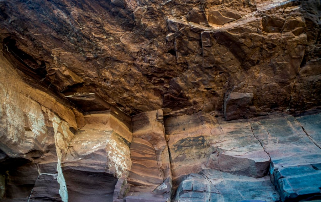
Terrapina Gorge + Tors

I mentioned in the earlier maps and territories post that on Day 8 we’d made our way to a camp near Terrapinna Gorge in the north east of the Flinders Ranges, and that we had an afternoon to explore both the gorge and the Terrapinna Tors. By this stage I was beginning to develop a…
-
in the Hamilton Valley

Walking through the Hamilton Valley on days 5 and 6 of the camel trek meant slowly making our way through the malaleucas that were growing in the stony creek bed of the very dry Hamilton Creek.
-
at Yudnamutana
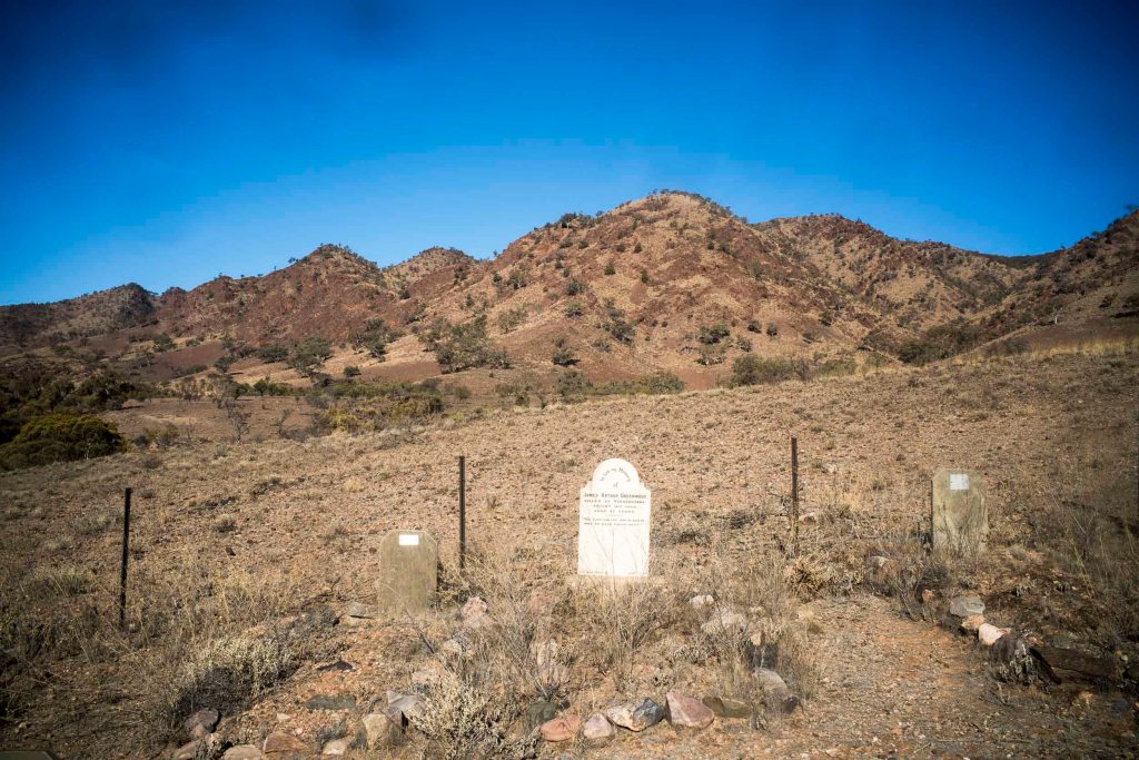
We are in the process of deciding whether or not to return to walking in the northern Flinders Ranges in 2021. The two options currently on the table are either walking in the Gammon Ranges with Suzanne’s walking friends under the umbrella of the ARPA Bushwalkers; or doing another camel trek, this time from Blinman…
-
walking in the Blue Mine Creek bed
At the end of the first day of walking we camped at a wonderful campsite close to Blue Mine Gap on the north western edge of the Gammon Ranges. We were walking in there of Sir Douglas Mawson’s 1906 explorations into the geology of the northern Flinders Ranges. In the 1920s and 1930s Mawson amongst others…
