-
to Bunyip Chasm

It was a slow drive in the Subaru Outback from the Nudlamutana Hut where we staying to Bunyip Chasm via the Mt McTaggart track, then on part of the Wortupa Loop Track in the Illinawortina Pound. We carefully drove to Grindell’s Hut and then onto Loch Ness Well campground. It took us around 3.5 hours.…
-
Interlude: a video
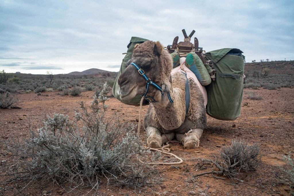
The little video below was made whilst I was on the 2021 camel trek to Lake Frome from our starting point at the township of Blinman in South Australia. It was made on the morning of the day that we walked into Mt Chambers Gorge just after lunch. I made a couple of ‘loading the…
-
Mt Warren Hastings

The first day we decided to do the Oppaminda-Nudlamutana trail as it started near the Nudlamutana Hut where we were staying for the week. We decided to walk this trail to Mt Warren Hastings where we would have our lunch, and then return to the hut. We chose to do a linear walk along a…
-
Blinman
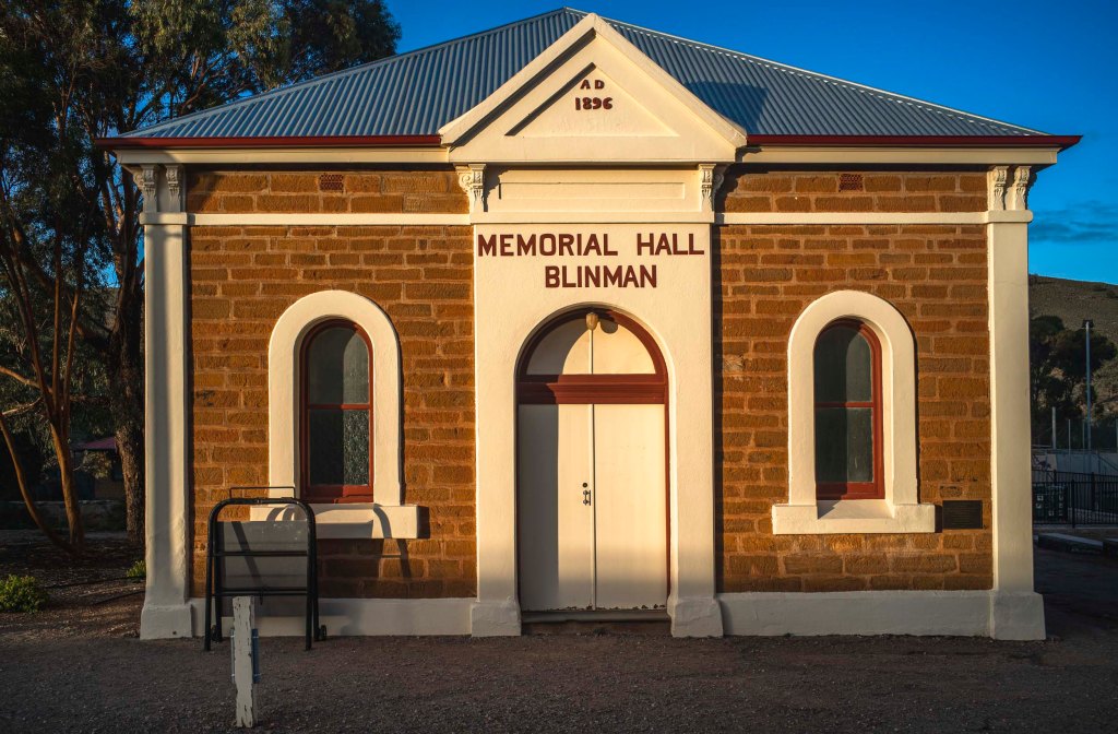
We returned to walking in the northern Flinders Ranges in the winter of 2022. This time we would be on our own both in terms of accommodation at Nudlamutana Hut and walking the various trails in the Vulkathunha-Gammon Ranges National Park and the Arkaroola Wilderness Sanctuary. We stayed overnight in a motel style accommodation behind…
-
Brachina Gorge

On our last full day in the southern Flinders Ranges we drove through Brachina Gorge which runs through the Heysen Range towards Lake Torrens. We started from the Blinman Hawker Rd, exited on the road to Parachilna + Leigh Creek, then returned to Hawker via the Moralana Gorge Rd through the Elder Range in the…
-
at Hawker
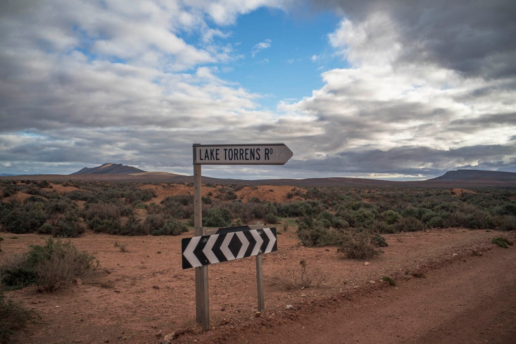
Whilst we stayed at Hawker I drove out to the 5 Ways Corner and the Hookina Creek floodplain to see if there was public access to Lake Torrens. The Lake Torrens road only lead to a pastoral station.
-
Acacia Ridge walk

The view on the climb to Acacia Ridge gave you a clear sense of both the folly of pastoralism in the Vulkathunha-Gammon Ranges and their sheer wildness.
-
Bararranna walk

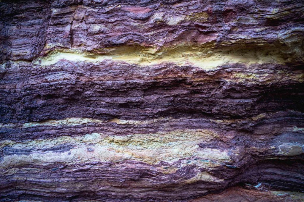
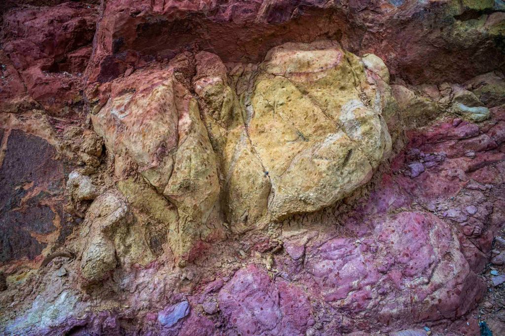
Arkaroola Creek was the main focus of the day’s walk. The high walls of Arkaroola Creek creek are tillite (Merinjina Tillite?)
-
Kingsmill Creek + Tillite Gorge
Day 6 involved driving up the road to Paralana Hot Springs, a walk along Kingsmill Creek, Arkaroola Creek and Tillite Gorge.
-
Italowie Gap
n the late morning Suzanne and I drove from Balcanoona to Italowie Gap on the Copley Road. We had morning coffee in the Italowie camp ground, drove a kilometre or so into the Gap, and then walked around the bed of the Italowie Creek.
-
Subscribe
Subscribed
Already have a WordPress.com account? Log in now.
